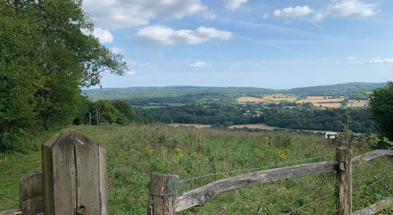
Photos by Betza Baca on AllTrails
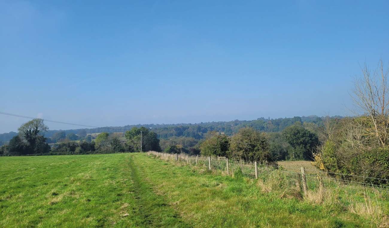
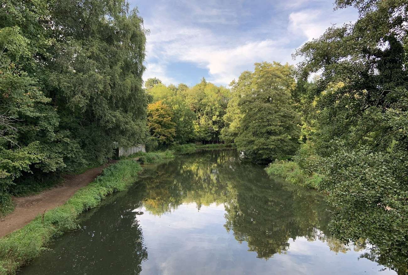
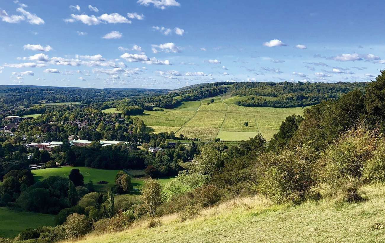
The White Downs is a 3.5 kilometre loop trail located near Dorking, Surrey, England that features beautiful wild flowers and is good for all skill levels. The trail is primarily used for hiking, walking, running, and nature trips.
Distance: 3.5 km
Time: Est. 1 hrs 8 mins
Route Type: Loop
Elevation Gain: 115 m
Walk Information:
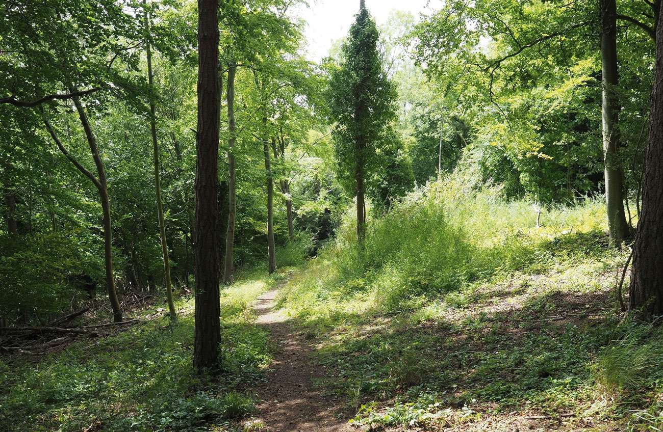
A circular walk taking in the beautiful woodland and chalk grassland of the White Downs on the slopes of the North Downs in Surrey. The walk follows woodland bridleways and chalk grassland footpaths which can get very muddy at times so good boots are a must. There are no stiles or steps, but you will need to negotiate two kissing gates. The route includes a few gentle slopes plus one short steeper climb.
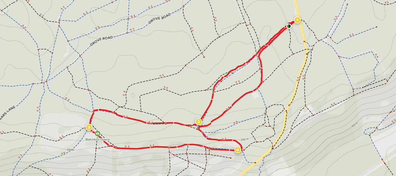
Waypoints
1. Start to Old Simm’s Junction
Walk to the top of the car park (away from the road) where you will find a vehicle barrier. Just to the right of this you will also see a waymarker post with a white arrow for the self-guided trail. It is this symbol that your walk will be following for its entire length. Pass alongside the vehicle barrier and keep directly ahead on the signed stone bridleway, heading steadily uphill. On your right you will see a bank running alongside the path, topped with a line of beautiful old twisted beech trees. As the path levels off you will come to a fingerpost marking a crossroads. Keep straight ahead and stay with this main path first meandering ahead and, later, bearing left. Eventually the path will lead you to a staggered crossroads marked with a waymarker post.
2. Old Simm’s Junction to North Downs Way
Turn right here and follow the wide bridleway with Old Simm’s Copse still on your right. Further along, the path winds through a section of heavily coppiced trees to reach the next fingerpost marking a junction with another bridleway. Turn left here and follow the stone track as it begins to lead you downhill. After just a short distance you will come to a clearing between two lines of fencing and a fingerpost, marking the junction with North Downs Way. Turn left, through the kissing gate to enter the National Trust site of Blatchford Downs.
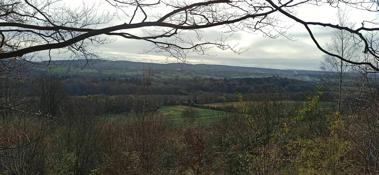
3. North Downs Way to White Down Lease Gate
Follow the grass path leading you steadily downhill and passing a couple of handy benches on the left. The path swings left, entering a small belt of trees. Within the woodland on the left you will see the remains of a brick pillbox. Simply continue ahead on the North Downs Way, passing a second pillbox on your right, a third on your left and then a fourth across to your right once again. Eventually you will come to a kissing gate alongside a National Trust sign for White Down Lease.
4. White Down Lease Gate to End
Pass through this gate and a few paces later you will come to a fingerpost. Turn sharp left here to join the signed public footpath leading you uphill and soon following the wire fence on your left. Stay with the path as it swings left and levels off, still following the fence line on your left. As you pass a large yew tree on your left, stay with the path which veers right heading away from the fence, passing a waymarker post. A little way up, the path swings left to merge with a wider track. 30 metres later, you will see a waymarker post on your right. Turn right, leaving the main track to join a narrow path which winds through a short section of trees to reach a staggered crossroads. Turn right here and follow this track as it swings steadily left, leading you through Dunley Wood. Further along, the path leads you past the green railings and grass mounds of a water reservoir on your right. You will reach a staggered crossroads, stay on the main track. About 30 metres later as you reach a waymarker post, turn left to join the narrower stone path winding through the trees. You will emerge to the crossroads of paths, that you passed through at the start of the walk. Turn right to join the bridleway and this will lead you directly back to the car park where the walk began.
See more info on the walk at: www.alltrails.com


