by Joy Horn
This month’s walk is just under one mile, with opportunities to sit down along the way. It begins in the footpath at the north end of the Church carpark, reached from the High Street by Church Lane. Here is a gate leading into what used to be the C of E Primary School Infants department, now used for a pre-school group. There was a previous building here, put up in the early years of the twentieth century and known as ‘the County Infants’ School’. Cranleigh children spent their first two or three years of schooling here, before going on to the Village School (now the Arts Centre) near the Obelisk.
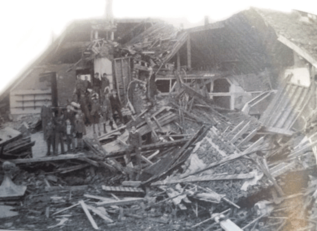
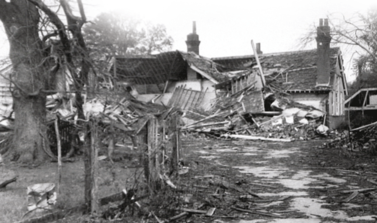
At 7.00am on Sunday August 24th 1944, the rector, the Revd. H.L. Johnston, was walking from the Rectory (now Moat Lodge) to the church in order to lead the early service of Holy Communion, when a V-1 rocket crashed into the school playground. He was hit in the head by flying debris, and later taken to hospital. The school was completely destroyed. What a mercy that this did not happen when the school was full of small children! The rector was the only casualty. If you walk into the carpark, you can see a path from it to the enormous 19th-century rectory, which is now sheltered housing.
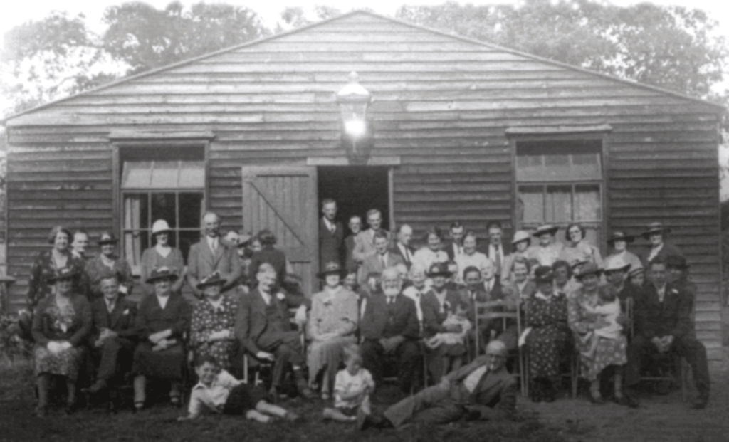
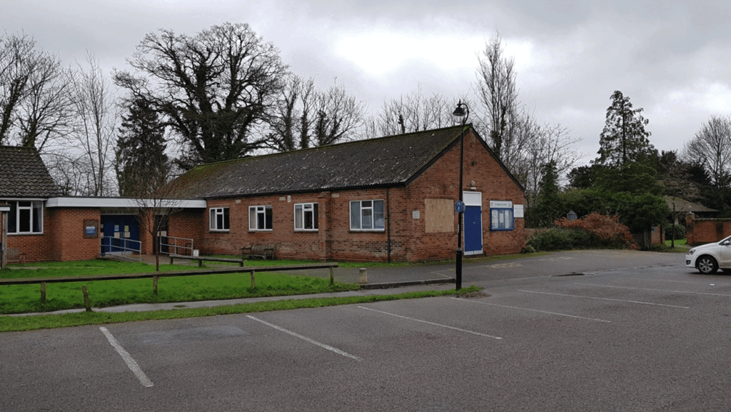
Near to the Infants’ School stood the Church Hut, erected in 1920, and used for church social events. This too was demolished by the rocket. Eventually it was replaced by the brick-built church hall which is here in the car park today.
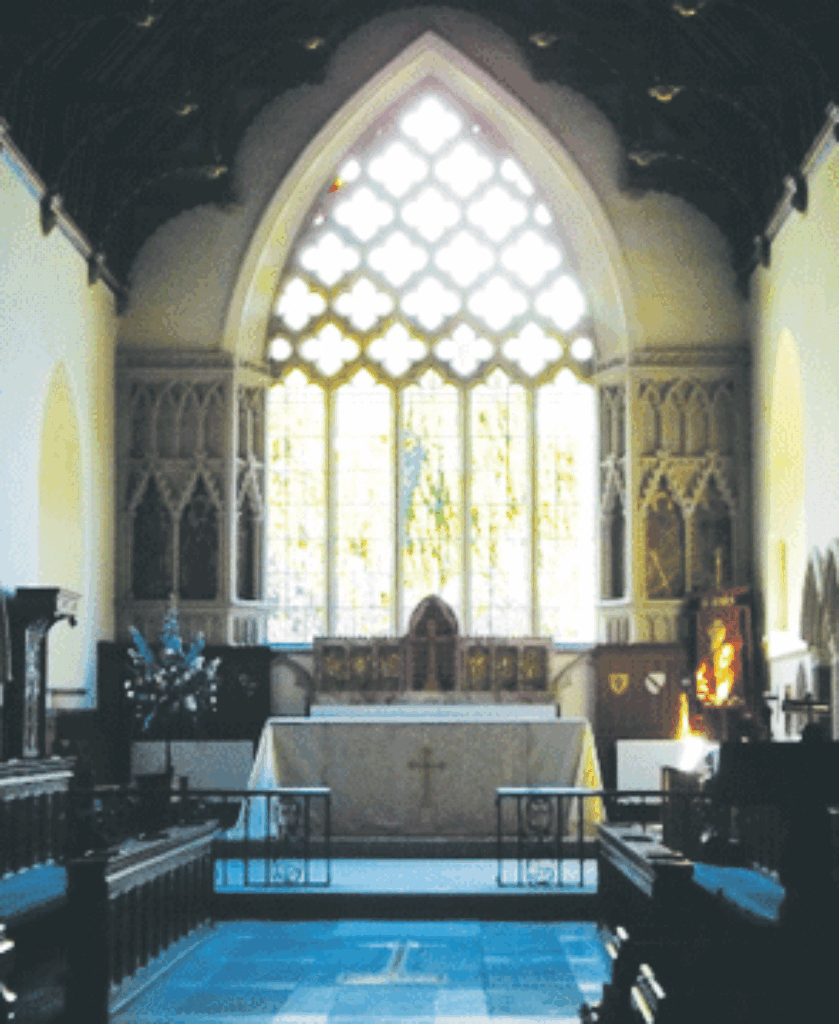
Walk towards the High Street. Most of the windows in the parish church were blown out, some with priceless stained glass, including the great east window which you pass. It was repaired with clear glass, which made the church much lighter. Stained glass has been put back in some of the windows in honour of Queen Elizabeth II’s golden jubilee (2002) and the Mothers’ Union (2014). Shortened church services were held for months in a very chilly church building, and the church was only fully repaired in 1952.
Continue down the lane to the Village School, called the ‘Church of England Junior School’ in 1944. This, too, was seriously damaged by the rocket, and ‘rendered throughout unusable’, as the School Log Book put it.
The managers of the school had to find accommodation in a hurry for about 500 children from the two schools.
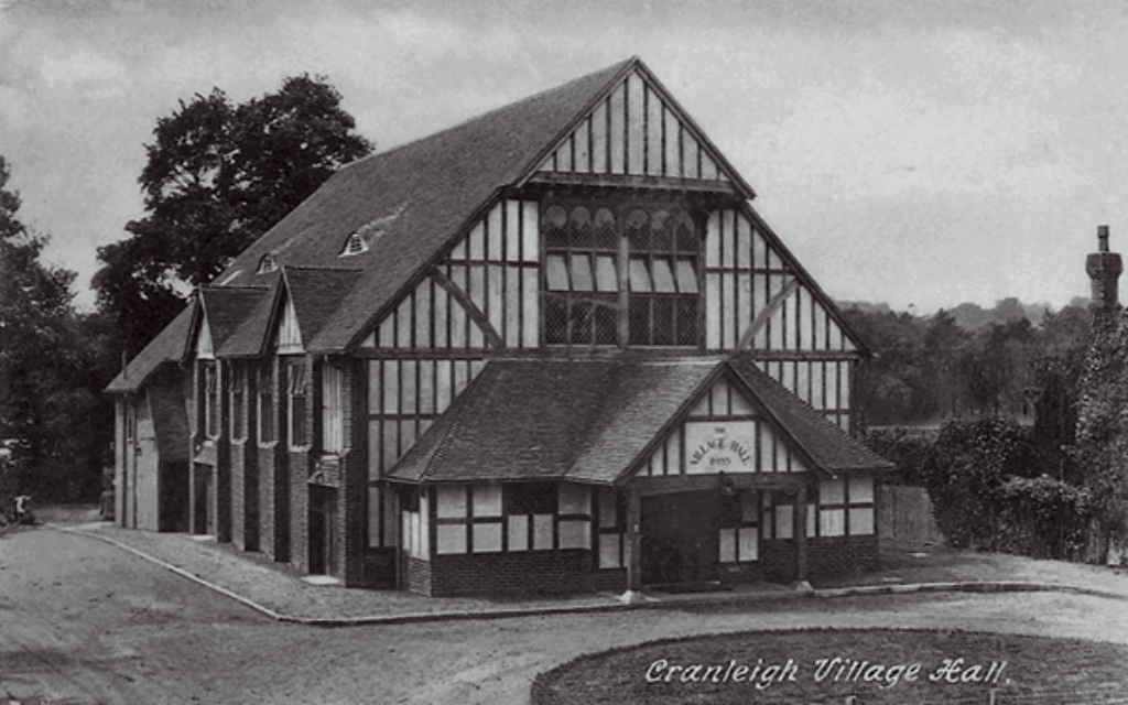
From the front of the school, go along Ewhurst Road to the white-painted shops attached to Cranleigh’s first Village Hall. By 1944 this had become the HQ of the local British Legion, and the card room here was offered for the Standard I Infants. From here bear right into Mead Road and take the first right turning, mostly filled with parked cars. On the left is a building with ‘Evangelical Free Church’ carved into its face. More schoolchildren were accommodated here. Continue into Horsham Road and turn right toward the village centre.
Along the High Street you will pass the new Village Hall (1933), and classes for other children were held here. By January 1945 it was so cold in here that teachers had to get their classes running around between lessons to keep warm.
The Methodist and Baptist churches were also used for school classes, and even the distant St Andrew’s church on the Common. Places were found for all the children by the Wednesday after the rocket fell, and they lost only two days’ schooling. The schools were able to return to their own sites on March 12th 1945.
As you walk along the High Street you can visualise that on the morning of Sunday August 24th 1944 the road was covered with crunchy glass fragments blown from windows by the V-1 rocket.
On the right-hand side of the High Street, Oliver House was the home of Jesse and Annie Mann during WW2. Jesse was a director of David Mann & Sons next-door. They started a Bath Club, offering free baths to servicemen stationed in Cranleigh and living in tents. A Cranleigh woman who married a Canadian soldier sent back here this ‘certificate’ (of postcard size) which her husband had been awarded after having a bath. Whether the number of baths is 374 or 8,374 is unclear, but even 374 is a large number, and the service was much appreciated.
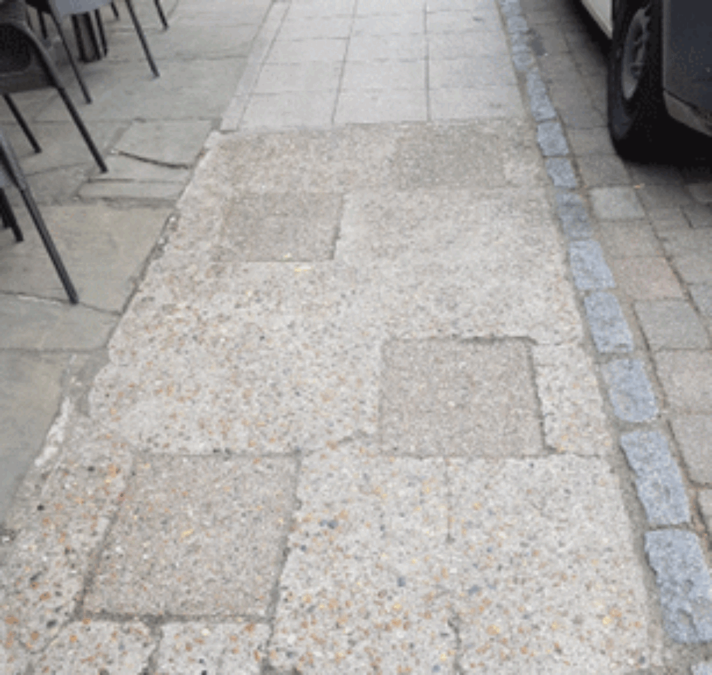
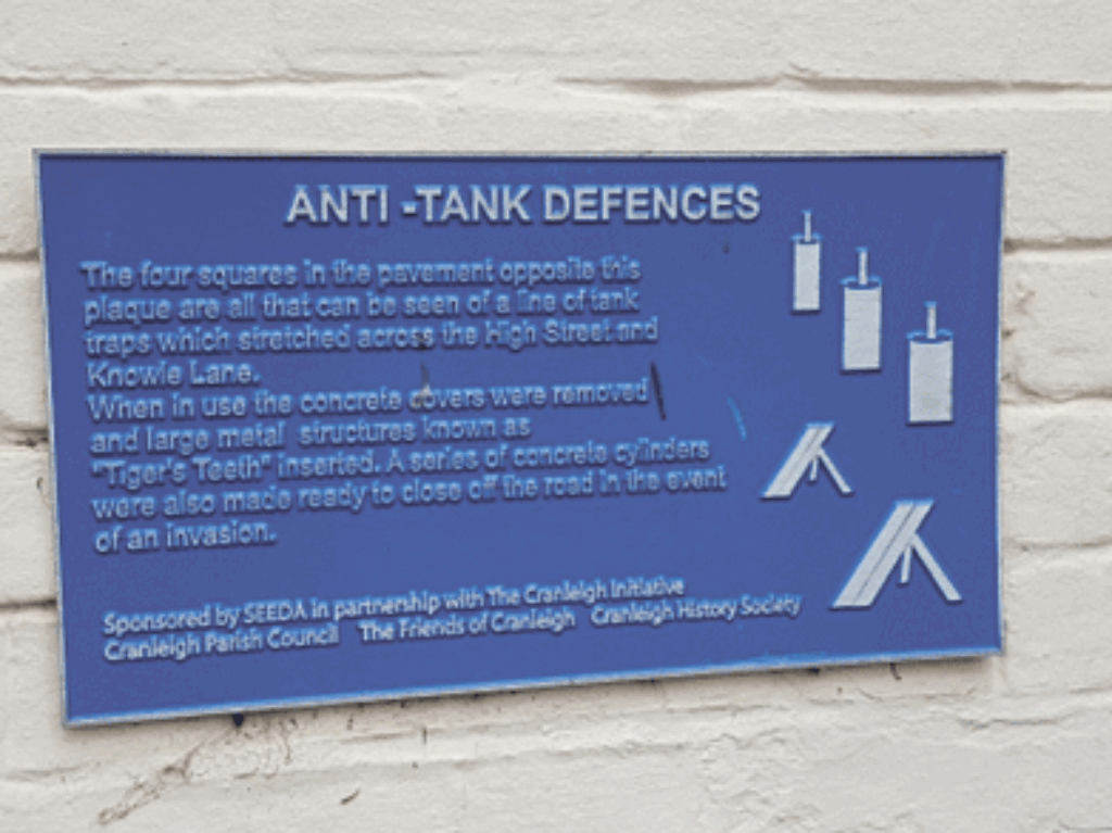
Continue past the former David Mann & Sons, now being re-developed, and pause outside the ‘Richard Onslow’. There is a plaque in the front wall describing the precautions taken in case of a wartime German invasion. In the pavement nearby are four concrete squares which cover holes into which anti-tank traps called ‘Tigers’ Teeth’ could be fitted. During WW2 there was a line of these across the High Street and Knowle Lane. Happily, they never had to be used.
The walk finishes at the War Memorial which commemorates 32 Cranleigh people killed in WW2. Two of them are women – Annie Ede, killed by the rocket which fell on the gasworks, and Alice Fortune, killed when a German plane strafed a train on its way back from Christmas shopping in Guildford.
The Cranleigh History Society meets on the second Thursday of each month at 8pm in the Band Room. The next meeting is on Thursday Sept. 14th, when Isabel Sullivan will speak on ‘John Evelyn in Surrey’. Visitors are welcome.


